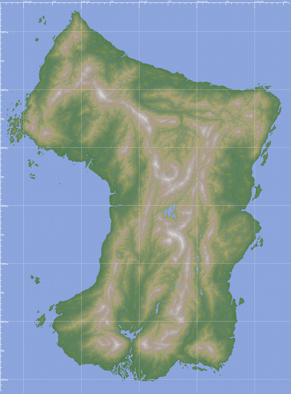
The continent of Ewlah
The continent of Ewlah stretches from latitudes 53° North to 11° South (7,300km), and from longitudes 147° East to 165° West (5,500km, including islands). The continent covers some 20 million km², making it the second largest continent on the planet.
Note that this website employs the standard longitudinal systems (Grand Treaty, and Vreski Imperial) for all its maps, meaning that the meridian line (0°N/S) passes through the most southernmost landmass on the planet - which results in the datum line (180°E/W) passing through Ewlah. Thus eastern coordinates can be found on the left and centre of the map, while western coordinates are to the right.